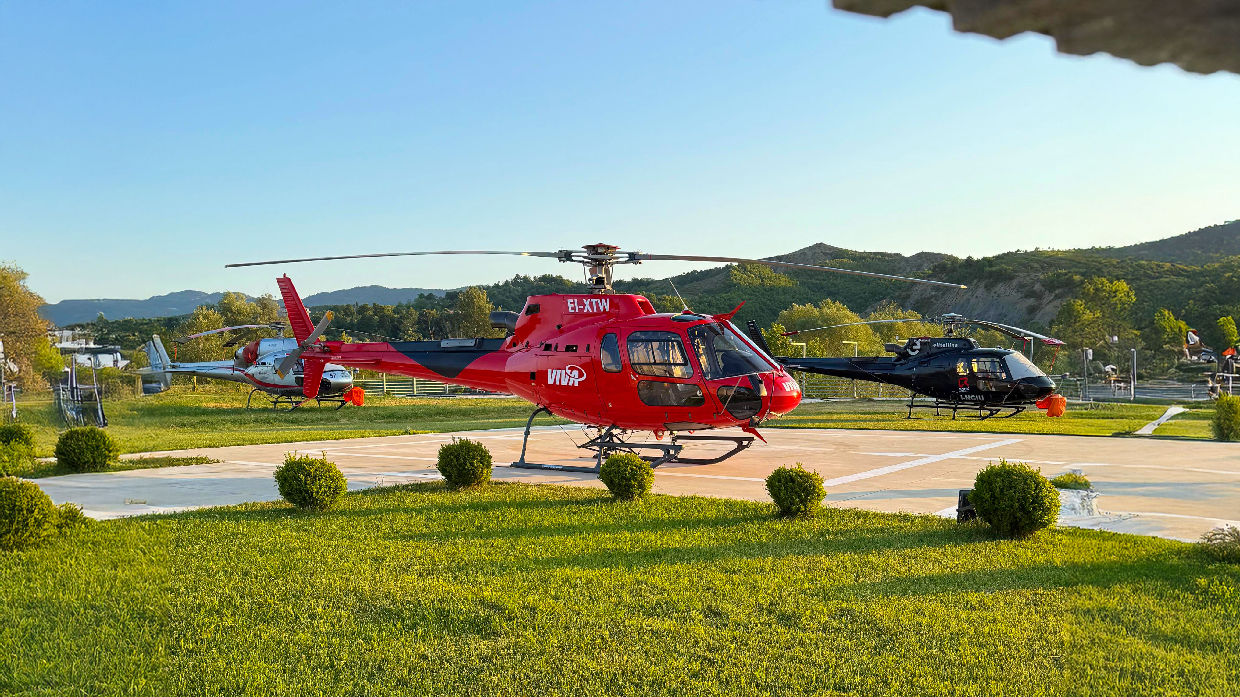
Viva Helicopters provides precise and efficient aerial survey services for a range of industries. Using advanced technology and skilled pilots, we offer detailed data collection for mapping, inspection, and environmental monitoring projects.
Our helicopters are equipped with high-resolution cameras and sensors, enabling accurate aerial measurements even in remote or challenging areas. Viva Helicopters’ aerial surveys save valuable time compared to ground-based operations.
Whether for construction planning, agricultural analysis, or utility inspections, Viva Helicopters delivers accurate and reliable results. We are committed to meeting your deadlines while maintaining the highest safety and quality standards.
